


1 /
8
Map
Sold Dec 02, 2009
$300,000
Buyer
Seller
$250,000
by Dean Cooperative Bank
Mortgage Due Nov 01, 2042
Sold Dec 02, 2009
$300,000
Buyer
Seller
$240,000
by Residential Mtg Svcs
Mortgage
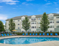
199 Bennett Street in Wrentham, MA was first built in 1987 and is 37 years old.
Although, the building on the property was most recently renovated and altered in 1995.
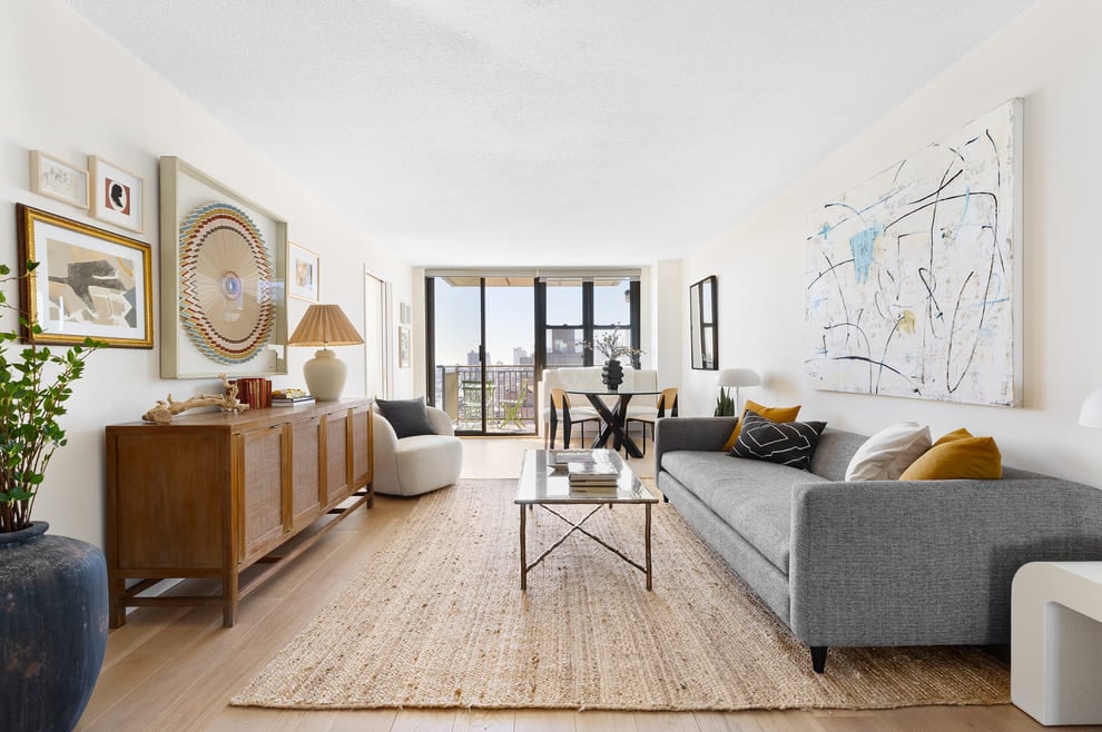
This has been categorized as a residential property type.
There are a total of 2 floors.
There are a total of 9 rooms in the home, of which, 4 are bedrooms.
In terms of bathrooms, there are a total of 2 full bathrooms.
There are 2 partial bathrooms.
199 Bennett Street has 2,208 sqft of living area. This is typically the area of a building that is heated or air conditioned and does not include the garage, porch or basement square footage.
In total, the area measurement of the land is 51,052 square feet.
Learn more about the property and building on this page. The home has a gambrel style roof made of asphalt. Fun fact, did you know that buildings can move due to weather changes? That's why, the type of control joints used in the construction of your home is extremely important. Based on our data, we know that the home was built with frame control joints. The condition of the building has been evaluated as average. The exterior walls of the home are made of wood siding. As for heating, the home is utilizing a hot water heating system and being fueled with oil. There is a fireplace in the home! Just imagine how amazing it would be to curl up in front of a cozy fireplace during those chilly winter nights. The property was last sold in Jan 1, 1970 for $300,000. That's $135.87 per sqft. Prior to that sales transaction, the property was also sold in Jan 1, 1970 for $300,000. 199 Bennett Street was last assessed in 2023. The total value of the property was assessed at $600,700. Specifically, the land the property is located on was valued at $275,600. While improvements on the property were assessed at a total of $325,100. The total assessed value for this property is more than the total market value as of this moment. Which is pretty atypical. The total amount of taxes due from a property owner is $7,581. If you're currently on the market shopping for a loan, then you've most likely encountered the two terms "interest rate" and "annual percentage rate (aka APR)". But do you know the difference between the two? Typically, APRS are higher than interest rates because they include most additional fees and one-time costs. As a result, it's important to look at both and if you notice that your APR is significantly higher, that might mean that too many additional fees are being charged. Unfortunately, this property is not currently listed for sale but our inventory of available properties is constantly updating in real time. Check back frequently for updates.
Learn more about the property and building on this page. The home has a gambrel style roof made of asphalt. Fun fact, did you know that buildings can move due to weather changes? That's why, the type of control joints used in the construction of your home is extremely important. Based on our data, we know that the home was built with frame control joints. The condition of the building has been evaluated as average. The exterior walls of the home are made of wood siding. As for heating, the home is utilizing a hot water heating system and being fueled with oil. There is a fireplace in the home! Just imagine how amazing it would be to curl up in front of a cozy fireplace during those chilly winter nights. The property was last sold in Jan 1, 1970 for $300,000. That's $135.87 per sqft. Prior to that sales transaction, the property was also sold in Jan 1, 1970 for $300,000. 199 Bennett Street was last assessed in 2023. The total value of the property was assessed at $600,700. Specifically, the land the property is located on was valued at $275,600. While improvements on the property were assessed at a total of $325,100. The total assessed value for this property is more than the total market value as of this moment. Which is pretty atypical. The total amount of taxes due from a property owner is $7,581. If you're currently on the market shopping for a loan, then you've most likely encountered the two terms "interest rate" and "annual percentage rate (aka APR)". But do you know the difference between the two? Typically, APRS are higher than interest rates because they include most additional fees and one-time costs. As a result, it's important to look at both and if you notice that your APR is significantly higher, that might mean that too many additional fees are being charged. Unfortunately, this property is not currently listed for sale but our inventory of available properties is constantly updating in real time. Check back frequently for updates.
Building Features
Location
Corner Lot
Condition
Wooded Lot
This property description is generated based on publicly available data.

199 Bennett Street, Wrentham, MA 02093
By submitting your information, you agree RealtyHop can share your information with its network of real estate & mortgage professionals (or through their agents) and consent to receive marketing emails, calls, & texts related to your inquiry (including via automatic telephone dialing system, or artificial or pre-recorded voice technology) from Movoto or their affiliates to the email address or number you provided. By proceeding, you agree to our Terms of Service.